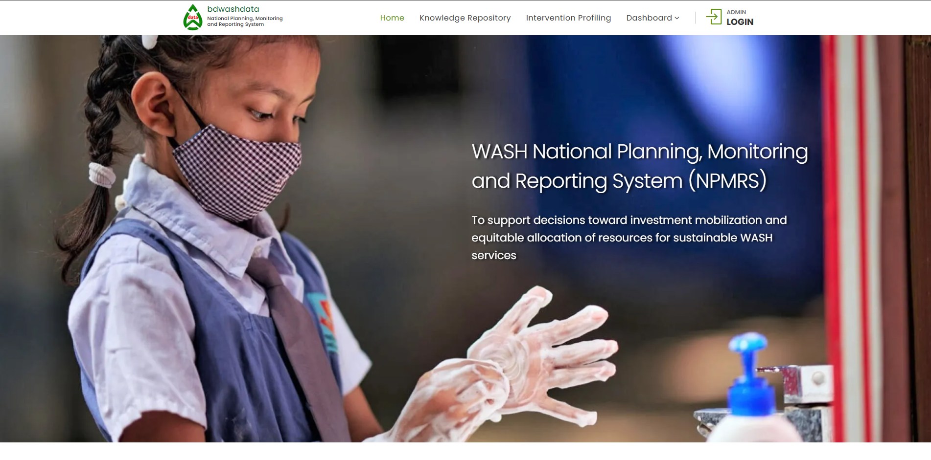
UNICEF BD Washdata
Arsenic detection system with facility tracking; maps arsenic levels and sanitation data using GeoJSON
- PHP
- MariaDB
- Bootstrap
- GeoJSON
- query performance improvement
- ~85%
Geospatial data platform architecture delivered for UNICEF Bangladesh by our lead engineer.
Client
UNICEF Bangladesh — Water, Sanitation and Hygiene (WASH) Programme.
Challenge
Map arsenic contamination levels and monitor water and sanitation facility condition across Bangladesh's administrative hierarchy — divisions, districts, and upazilas — in a system that remains fast and responsive at national scale.
Approach
PHP and MariaDB backend paired with GeoJSON-based interactive mapping; spatial indexing and query optimization across nationwide facility datasets.
Outcome
~85% improvement in spatial query performance and actionable visualization for public health teams.